
Service 01 — Wind resource assessment
First, know the wind.
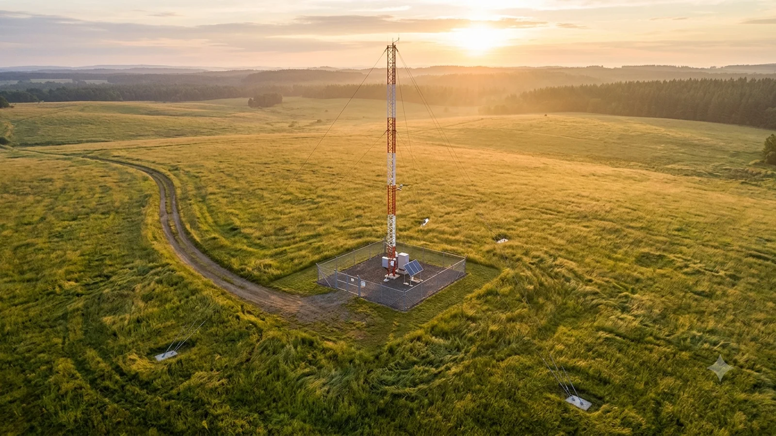
The measured foundation every wind project is financed on. IEC-compliant met-mast and LiDAR campaigns that characterise the wind at hub height — and produce datasets that survive independent review.
Continuous measurement · IEC 61400-50 · masts to 170 m
anonymised upland site
12 months · distilled
- Dominant sector
- —
- Strongest month
- —
- Calm ‹ 3 m/s
- —








































Read your site’s wind right now.
Drop your site coordinates and we pull the current model wind for that exact point — hub-height speed, direction, gust, shear, air density and the week ahead, each explained below its number.
Enter a site — or press Read with the sample 10.77, 77.05
—
Model wind · Open-Meteo · not a measurement
This is model wind (Open-Meteo blended national models, ~11 km grid, hourly, nothing stored by us), not a site measurement — models smooth over hills, forests and local flow, and that error is exactly what a project can’t afford. A measurement campaign proves the number lenders accept →
What a wind resource assessment decides.
Four numbers in a wind project are priced from the measured wind. Get the wind wrong at the start and every one of them is wrong after it.
-
01 · Yield
How much energy the site will make
The P50 annual energy estimate. Every revenue line in the model starts here.
From: hub-height wind speed · direction · air density -
02 · Debt
How much a lender will finance
Banks size debt on P90, the conservative case. Lower measurement uncertainty moves P90 towards P50: roughly 1.3 % more bankable energy for every 1 % of uncertainty removed.
From: measurement uncertainty · long-term correlation (MCP) -
03 · Turbine
Which machine, at which hub height
Shear and turbulence set the IEC class the turbine must be certified for, and whether a taller tower pays for itself.
From: shear α · turbulence intensity · extreme gusts -
04 · Tariff
What price the power can be sold at
A PPA or auction bid is a bet on yield certainty. The narrower the uncertainty, the lower the bid can go and still be financed.
From: P50 / P90 spread · seasonal profile
Why we measure at hub height, not at the ground
Wind gets faster with height, and energy goes with the cube of speed. A public model or a 10 m weather station reads the ground; the rotor lives 60–170 m up. The gap between the two is the reason a mast or LiDAR campaign exists.
What separates a VOTC assessment
Six reasons a VOTC dataset survives the people paid to doubt it. Scan the channels — the console reads out each one.
Channel 01 / 06
Independent by design
No position in the outcome — no development stake, no turbine to sell. That is why OEMs, owners and independent engineers, parties whose interests rarely align, work from the same VOTC dataset.
One dataset · every party · no position in the outcome
Channel 02 / 06
One accountable party
Structural engineering, manufacture near Pune, calibration, logistics, certified erection crews, data operations and reporting — one contract, one accountable party from design calculation to validated dataset.
One contract · design → validated dataset
Channel 03 / 06
Evidence that survives diligence
MEASNET and NABL/ILAC calibration certificates cross-checked to installed serial numbers, witnessed hold points, monthly data-quality records. A smaller number that survives review beats a larger one that does not.
MEASNET · NABL/ILAC · certificate per serial number
Channel 04 / 06
Depth, not just breadth
200+ measurement campaigns and 120+ masts under active maintenance — our relationship with a site typically outlasts the installation by years, and so does our record of its data.
200+ campaigns · 120+ masts under maintenance
Channel 05 / 06
One standard, sixteen countries
A typhoon-exposed island mast and a Gulf-desert mast are built to the same method, the same hold points, the same records — executed by teams who know the local permitting and weather.
16 countries · one method · one record
Channel 06 / 06
Safety without exception
Certified climbers only, never a solo climb, work suspended at ≥10 m/s wind, zero tolerance for unattached climbing. The infrastructure that measures clean energy is itself delivered responsibly.
ISO 45001 · certified climbers · suspend ≥10 m/s
What's included
One measurement scope, defined and signed off before any equipment is mobilised — plan, measure, process, deliver.
The measurement pipeline · two instruments, one validated dataset
Campaign design
Terrain, wind and access, planned to IEC and signed off before mobilisation.
IEC 61400-12-1 · 50-1Met mast
Guyed lattice to 170 m, MEASNET-calibrated Thies First Class anemometry.
MEASNET · NABL/ILAC design →Ground LiDAR
Vaisala WindCube, ZX and Movelaser vertical profilers across the rotor.
IEC 61400-50-2 solutions →Data validation & MCP
Continuous QA, anomaly recovery and long-term correlation to reference data.
Monthly QA · MCPBankable reporting
IEC-aligned reporting and handover dossier, ready for the lender's engineer.
IEC-aligned reporting →Five workstreams · one scope · one contract · one accountable party
The deliverables dossier
Everything handed over — an auditable data room, not a slide deck.
IE-ready
Handover dossier
Wind Resource
Assessment
Reference mast MM-01 · 170 m
10.77°N · 077.05°E
- D-01IEC-aligned measurement plan & site survey reportPDF
- D-02Mast design calculations, GA drawing & sensor layoutDWG · PDF
- D-03MEASNET / NABL·ILAC calibration certificates, per serial numberPDF
- D-04Erection log & commissioning report with hold-point recordsPDF
- D-05Monthly data-quality & availability reportsPDF · CSV
- D-06Validated dataset with documented recovery & flaggingCSV · TAB
- D-07Long-term correlation (MCP) analysisPDF · XLSX
- D-08Final bankable report & complete handover dossierPDF
Met mast, LiDAR, or both?
Two ways to measure the wind — point readings at fixed heights, or a continuous profile across the span. Most bankable campaigns use both.
Met mast
Reference standard
Discrete · fixed heights
- MeasuresPoint, multi-height cup anemometry
- HeightsFixed booms, to 170 m
- DeployWeeks to erect · permanent
- Best forHub-height traceability, multi-year records
Ground LiDAR
Speed & reach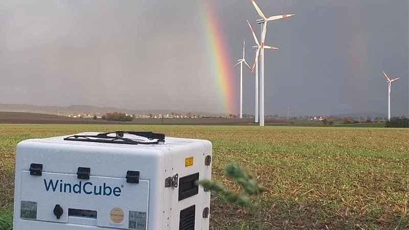 Continuous · full span
- MeasuresVertical profile, full rotor span
- HeightsTo and beyond hub height
- DeployDays · relocatable mid-campaign
- Best forComplex terrain, short-lead, verification
Interactive · scope it yourself
What would your turbine need?
IEC 61400-12-1 wants hub height anchored by calibrated anemometry and the rest of the swept area profiled — that pair is what lenders see. Get this exact configuration as a scoped proposal →
Both — the bankable default
Most campaigns combine them — a mast anchoring traceability, LiDAR extending it across heights and locations. VOTC delivers both under one accountable scope, so the choice is engineering, not procurement.
Standards & traceability
Every figure defined and available for verification — we would rather present a smaller number that survives due diligence than a larger one that does not.
An unbroken chain — every reading traced back to the metre and the second
- 01 On the report 7.72m/s Hub-height mean, as delivered IEC 61400-12-1
- 02 Instrument S/N08822 Anemometer, installed & logged IEC 61400-50-1 · 50-2
- 03 Calibration Certtied to serial Wind-tunnel, before deployment MEASNET
- 04 Accreditation NABLILAC MRA Accredited, mutually recognised ISO/IEC 17025
- SI Reference m& second The definition of speed itself BIPM · SI
From first call to live data
Indicative timeframes, not contractual — the shape of a typical start.
-
Day 0You
Share the site
Send coordinates, project stage and the decision the data must support — a call or an email is enough to start.
-
Week 1VOTC
Scope & proposal
We come back with a measurement scope, campaign design, programme and price. One document, no ambiguity about what is delivered and verified.
-
Weeks 2–4You + VOTC
Kick-off & engineering
Contract, site survey, plan sign-off, mast/LiDAR engineering and calibration scheduling. Permits, export and logistics begin in parallel — handled by VOTC.
-
DeployVOTC
Deploy & commission
Manufacturing, shipping, installation through hold points H1–H4, sensor commissioning and the 7-day data verification.
-
LiveVOTC
Live data & reporting
Remote telemetry streams from day one; you receive monthly data-quality reports and a named point of contact for the life of the campaign.
Reference · 7.72 m/s
Who commissions a VOTC assessment
Developers and IPPs establishing greenfield sites; asset owners extending or repowering; turbine OEMs validating siting; lenders, investors and their independent engineers verifying someone else’s numbers.
Developers & IPPs
Financing a greenfield site — the resource has to underwrite the debt.
Turbine OEMs
Validating siting and turbine suitability against real conditions.
no position in the outcome Independent
Lenders & independent engineers
Verifying someone else’s numbers before capital is committed.
Asset owners
Extending or repowering an operating asset with confidence.
Because VOTC holds no position in the outcome, parties whose commercial interests rarely align can work from the same record.
One global network, one engineering standard.
Sixteen countries, five operating regions — export, customs, permits and HSE handled end to end. One method, one record, wherever the site is.
- 01India & South AsiaManufacturing, calibration and the network’s largest concentration of masts under maintenance.
- 02Southeast Asia & the PhilippinesCampaigns in typhoon-exposed and island terrain, including remote-access sites.
- 03Middle East & GCCTall-mast programmes in high-temperature desert conditions.
- 04Australia & New ZealandResource assessment and LiDAR campaigns to local regulatory expectations.
- 05Africa & Central AsiaEmerging-market campaigns, delivered to the same method and the same records as everywhere else.
Where is the site — and what must the data prove?
Tell us where the site is and what decision the data has to support. We come back with a measurement scope, a programme and a price.
Offices, channels & the enquiry composer →
Scope, programme & price · within about a week